2014
TL1294 : Bent barrier on Oundle Road
taken 10 years ago, near to Chesterton, Cambridgeshire, England
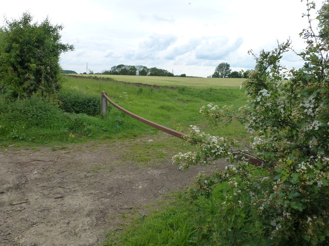
Bent barrier on Oundle Road
Field entrance west of Chesterton
 Map © Crown Copyright")
TIP: Click the map for more Large scale mapping
- Grid Square
- TL1294, 9 images (more nearby 🔍)
- Photographer
- Richard Humphrey (more nearby)
- Date Taken
- Tuesday, 20 May, 2014 (more nearby)
- Submitted
- Friday, 23 May, 2014
- Subject Location
-
OSGB36:
 TL 1201 9492 [10m precision]
WGS84: 52:32.4376N 0:20.9913W - Camera Location
-
OSGB36: TL 12068 94936
- View Direction
- WEST (about 270 degrees)