2005
SD6753 : Burn Fell Bowland
taken 19 years ago, 4 km NNE of Dunsop Bridge, Lancashire, England
This is 1 of 3 images, with title starting with Burn Fell in this square
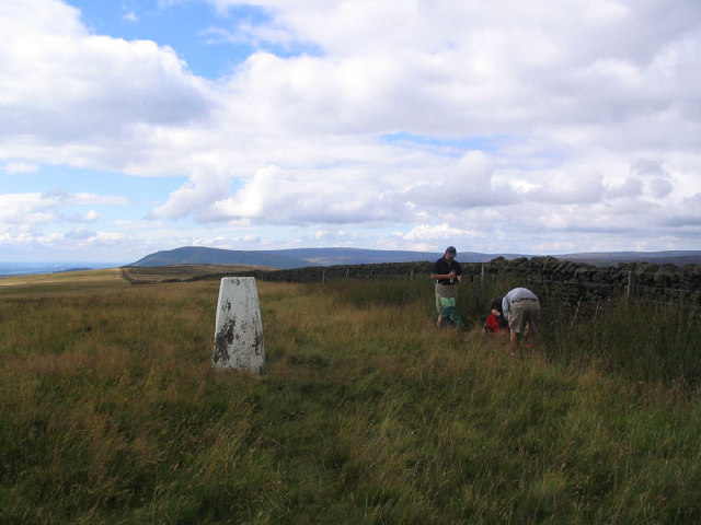
Burn Fell Bowland
The trig Point on Burn Fell looking South West along the wall
 Map © Crown Copyright")
TIP: Click the map for more Large scale mapping
- Grid Square
- SD6753, 20 images (more nearby 🔍)
- Photographer
- Mick Melvin (more nearby)
- Date Taken
- Sunday, 14 August, 2005 (more nearby)
- Submitted
- Friday, 19 August, 2005
- Subject Location
-
OSGB36:
 SD 67 53 [1000m precision]
WGS84: 53:58.5920N 2:29.8203W