2014
SX6297 : Devonshire Heartland Way near Honeycott
taken 10 years ago, 3 km from Taw Green, Devon, England
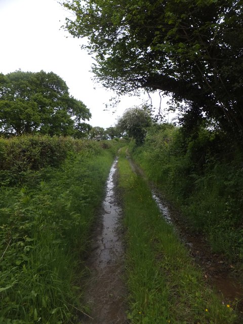
Devonshire Heartland Way near Honeycott
It follows a muddy track here
 Map © Crown Copyright")
TIP: Click the map for more Large scale mapping
- Grid Square
- SX6297, 11 images (more nearby 🔍)
- Photographer
- David Smith (more nearby)
- Date Taken
- Tuesday, 27 May, 2014 (more nearby)
- Submitted
- Thursday, 29 May, 2014
- Subject Location
-
OSGB36:
 SX 6298 9737 [10m precision]
WGS84: 50:45.5821N 3:56.6438W - Camera Location
-
OSGB36: SX 6297 9736
- View Direction
- East-northeast (about 67 degrees)