2014
NZ1131 : Ordnance Survey Flush Bracket 2247
taken 10 years ago, near to Hamsterley, County Durham, England
This is 1 of 2 images, with title starting with Ordnance Survey Flush Bracket in this square
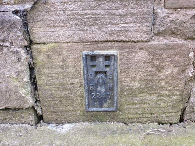
Ordnance Survey Flush Bracket 2247
This can be found on the wall of the Methodist Church in Hamsterley.
For more detail see : Link
For more detail see : Link
 Map © Crown Copyright")
TIP: Click the map for more Large scale mapping
- Grid Square
- NZ1131, 49 images (more nearby 🔍)
- Photographer
- Peter Wood (more nearby)
- Date Taken
- Saturday, 31 May, 2014 (more nearby)
- Submitted
- Monday, 2 June, 2014
- Subject Location
-
OSGB36:
 NZ 11954 31015 [1m precision]
WGS84: 54:40.4438N 1:48.9690W