2014
NC8026 : Moorland forest and burn course of Allt an Taghain
taken 10 years ago, near to Altanduin, Highland, Scotland
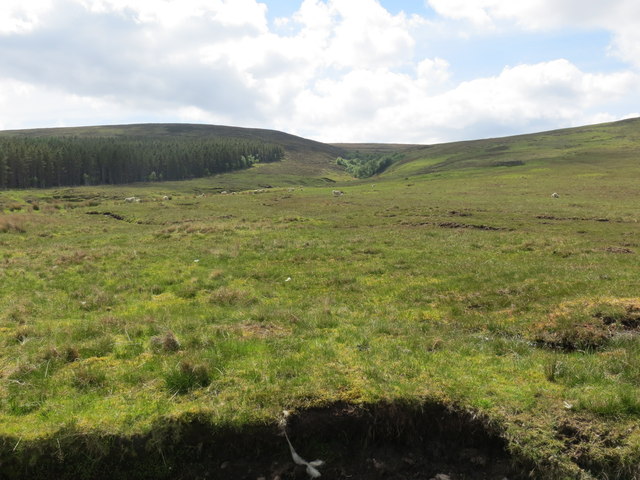
Moorland forest and burn course of Allt an Taghain
 Map © Crown Copyright")
TIP: Click the map for more Large scale mapping
- Grid Square
- NC8026, 16 images (more nearby 🔍)
- Photographer
- John Ferguson (more nearby)
- Date Taken
- Saturday, 31 May, 2014 (more nearby)
- Submitted
- Tuesday, 3 June, 2014
- Subject Location
-
OSGB36:
 NC 8057 2601 [10m precision]
WGS84: 58:12.3988N 4:2.0424W - Camera Location
-
OSGB36: NC 8057 2605
- View Direction
- SOUTH (about 180 degrees)