2014
SP8989 : Commercial Development Land
taken 10 years ago, near to Corby, North Northamptonshire, England
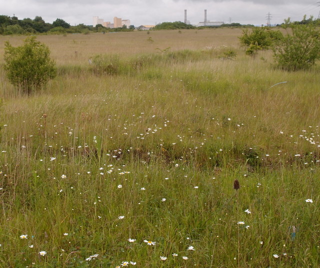
Commercial Development Land
Distant buildings are the Corby Power Station and to the left ADM's flour mill.
 Map © Crown Copyright")
TIP: Click the map for more Large scale mapping
- Grid Square
- SP8989, 57 images (more nearby 🔍)
- Photographer
- Michael Trolove (more nearby)
- Date Taken
- Wednesday, 4 June, 2014 (more nearby)
- Submitted
- Wednesday, 4 June, 2014
- Subject Location
-
OSGB36:
 SP 8966 8973 [10m precision]
WGS84: 52:29.8869N 0:40.8416W - Camera Location
-
OSGB36: SP 8972 8960
- View Direction
- North-northwest (about 337 degrees)