2005
NS0859 : Ruin
taken 19 years ago, near to Meikle Grenach, Bute, Argyll And Bute, Scotland
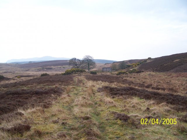
Ruin
Lord Jame's Hideaway?
 Map © Crown Copyright")
TIP: Click the map for more Large scale mapping
- Grid Square
- NS0859, 5 images (more nearby 🔍)
- Photographer
- Karl Peet (more nearby)
- Date Taken
- Saturday, 2 April, 2005 (more nearby)
- Submitted
- Saturday, 16 April, 2005
- Subject Location
-
OSGB36:
 NS 08 59 [1000m precision]
WGS84: 55:47.4451N 5:3.3615W