2014
SK5624 : Track east of Stanford Hall
taken 10 years ago, near to Rempstone, Nottinghamshire, England
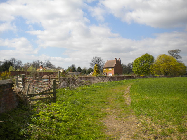
Track east of Stanford Hall
On this side, the boundary wall of the grounds of Stanford Hall is in varying states of decrepitude, and disused buildings can be seen from this public bridleway.
 Map © Crown Copyright")
TIP: Click the map for more Large scale mapping
- Grid Square
- SK5624, 37 images (more nearby 🔍)
- Photographer
- Richard Vince (more nearby)
- Date Taken
- Friday, 18 April, 2014 (more nearby)
- Submitted
- Saturday, 7 June, 2014
- Subject Location
-
OSGB36:
 SK 5616 2405 [10m precision]
WGS84: 52:48.6648N 1:10.0956W - Camera Location
-
OSGB36: SK 5617 2403
- View Direction
- Northwest (about 315 degrees)