SD5617 : Ackhurst Lodge Entrance to Astley Park (Ackhurst Wood)
taken 10 years ago, near to Chorley, Lancashire, England
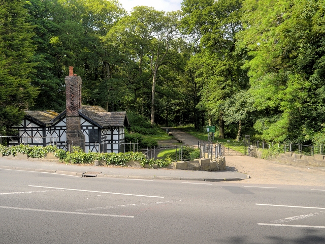
See other images of Astley Park
Astley Hall is a Grade I listed historic house (English Heritage Building ID: 357539 Link
British Listed Buildings). The original timber-framed manor house was built in the late 16th century, around a small courtyard. The present grand but asymmetrical South Range was rebuilt and refronted in brick with stone dressings (now rendered) during the second half of the seventeenth century.
In 1922 the estate, including the house and its contents was donated to the people of Chorley by its then-owner Reginald Tatton of nearby Cuerden Hall, as a memorial to the local men killed in World War I. The house has since been maintained as a museum by Chorley Council and is known as Astley Hall Museum and Art Gallery. The house contains fine oak furniture, Flemish tapestries and wooden panelling. It is currently (2014) open to the public on Saturday and Sunday afternoons. A wide range of temporary exhibitions are displayed in the art gallery throughout the season and events are organised throughout the year (Link
The grounds, which include historic woodland and a small lake, were landscaped by John Webb and feature a picturesque meandering stream running through a wooded ravine. They are known as Astley Park.
 Map © Crown Copyright")
- Grid Square
- SD5617, 18 images (more nearby 🔍)
- Photographer
- David Dixon (more nearby)
- Date Taken
- Wednesday, 11 June, 2014 (more nearby)
- Submitted
- Friday, 13 June, 2014
- Subject Location
-
OSGB36:
 SD 5695 1791 [10m precision]
WGS84: 53:39.3541N 2:39.1713W - Camera Location
-
OSGB36: SD 5695 1789
- View Direction
- North-northeast (about 22 degrees)