2014
TG3600 : Crossroads near Boundary Farm, Chedgrave and Langley
taken 10 years ago, near to Chedgrave, Norfolk, England
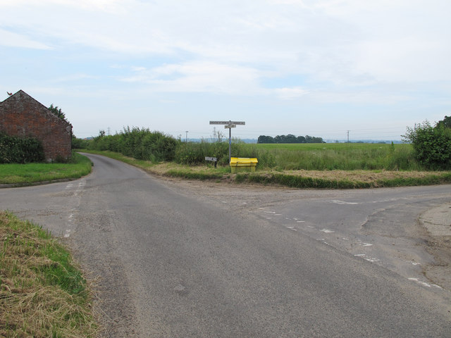
Crossroads near Boundary Farm, Chedgrave and Langley
This crossroads is on the boundary of Chedgrave and Langley. The section to the south and west is in Chedgrave, and the section to the north and east is in Langley.
 Map © Crown Copyright")
TIP: Click the map for more Large scale mapping
- Grid Square
- TG3600, 36 images (more nearby 🔍)
- Photographer
- Roger Jones (more nearby)
- Date Taken
- Monday, 9 June, 2014 (more nearby)
- Submitted
- Monday, 16 June, 2014
- Subject Location
-
OSGB36:
 TG 3638 0039 [10m precision]
WGS84: 52:32.9995N 1:29.1087E - Camera Location
-
OSGB36: TG 3636 0034
- View Direction
- North-northeast (about 22 degrees)