2014
SN7864 : Abandoned farm in Cwm Mwyro, Ceredigion
taken 10 years ago, near to Afon Mwyro [water Feature], Ceredigion, Great Britain
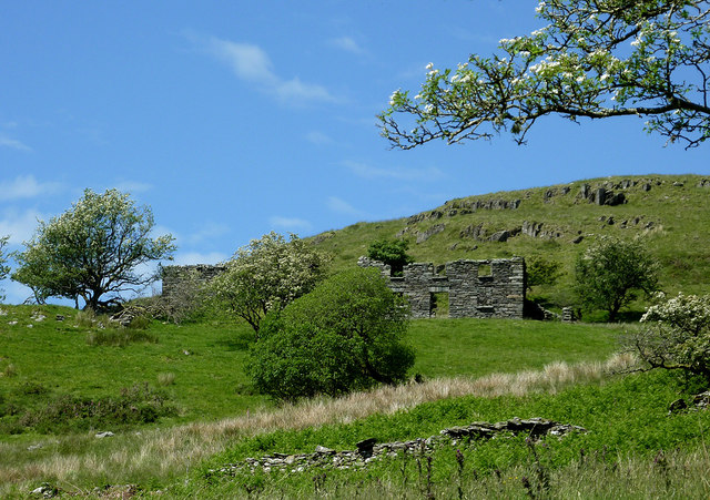
Abandoned farm in Cwm Mwyro, Ceredigion
 Map © Crown Copyright")
TIP: Click the map for more Large scale mapping
- Grid Square
- SN7864, 17 images (more nearby 🔍)
- Photographer
- Roger D Kidd (more nearby)
- Date Taken
- Friday, 13 June, 2014 (more nearby)
- Submitted
- Tuesday, 17 June, 2014
- Subject Location
-
OSGB36:
 SN 7807 6499 [10m precision]
WGS84: 52:16.1703N 3:47.2973W - Camera Location
-
OSGB36: SN 7807 6494
- View Direction
- NORTH (about 0 degrees)