2014
SM7023 : The Well, Ramsey Island
taken 10 years ago, 3 km from Rhosson, Pembrokeshire/Sir Benfro, Wales
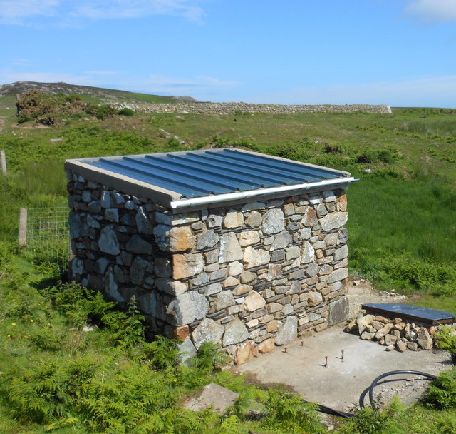
The Well, Ramsey Island
The box-like building encloses the primary water source for those living on the island.
 Map © Crown Copyright")
TIP: Click the map for more Large scale mapping
- Grid Square
- SM7023, 68 images (more nearby 🔍)
- Photographer
- Michael Steele (more nearby)
- Date Taken
- Thursday, 12 June, 2014 (more nearby)
- Submitted
- Wednesday, 18 June, 2014
- Subject Location
-
OSGB36:
 SM 704 239 [100m precision]
WGS84: 51:51.9945N 5:20.1795W - Camera Location
-
OSGB36: SM 704 239
- View Direction
- NORTH (about 0 degrees)