2014
NZ0448 : Coal Gate farm
taken 10 years ago, near to Muggleswick, County Durham, England
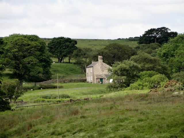
Coal Gate farm
This old farm lies on the edge of the moors south of Muggleswick. During the 19th and early 20th centuries it was farmed by seven generations of the same family.
 Map © Crown Copyright")
TIP: Click the map for more Large scale mapping
- Grid Square
- NZ0448, 12 images (more nearby 🔍)
- Photographer
- Robert Graham (more nearby)
- Date Taken
- Wednesday, 18 June, 2014 (more nearby)
- Submitted
- Thursday, 19 June, 2014
- Subject Location
-
OSGB36:
 NZ 0413 4858 [10m precision]
WGS84: 54:49.9221N 1:56.2340W - Camera Location
-
OSGB36: NZ 0452 4867
- View Direction
- West-southwest (about 247 degrees)