2014
SW6931 : A394 near Carnebone
taken 10 years ago, near to Seworgan, Cornwall, England
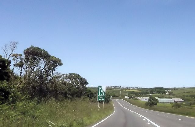
A394 near Carnebone
 Map © Crown Copyright")
TIP: Click the map for more Large scale mapping
- Grid Square
- SW6931, 9 images (more nearby 🔍)
- Photographer
- John Firth (more nearby)
- Date Taken
- Friday, 13 June, 2014 (more nearby)
- Submitted
- Wednesday, 25 June, 2014
- Subject Location
-
OSGB36:
 SW 6991 3116 [10m precision]
WGS84: 50:8.1471N 5:13.2702W - Camera Location
-
OSGB36: SW 6982 3107
- View Direction
- Northeast (about 45 degrees)