2006
TR3461 : Part of the Sandwich Bay marshes
taken 18 years ago, near to Great Stonar, Kent, England
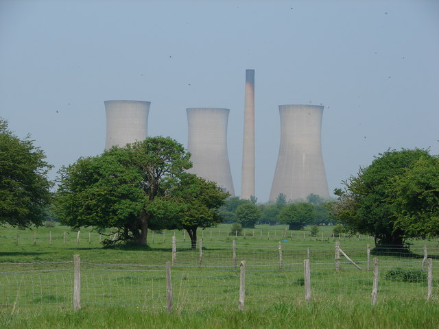
Part of the Sandwich Bay marshes
The field is part of the Sandwich to Hacklinge Marshes SSSI and also designated an internationally important RAMSAR site. The redundant Richborough power station is in the background.
 Map © Crown Copyright")
TIP: Click the map for more Large scale mapping
- Grid Square
- TR3461, 35 images (more nearby 🔍)
- Photographer
- Adam Hincks (more nearby)
- Date Taken
- Wednesday, 10 May, 2006 (more nearby)
- Submitted
- Wednesday, 18 April, 2007
- Subject Location
-
OSGB36:
 TR 341 613 [100m precision]
WGS84: 51:18.2076N 1:21.4254E - Camera Location
-
OSGB36: TR 342 613
- View Direction
- West-northwest (about 292 degrees)