2014
SK3262 : Bottom Moor Track
taken 10 years ago, near to Kelstedge, Derbyshire, England
This is 1 of 2 images, with title starting with Bottom Moor in this square
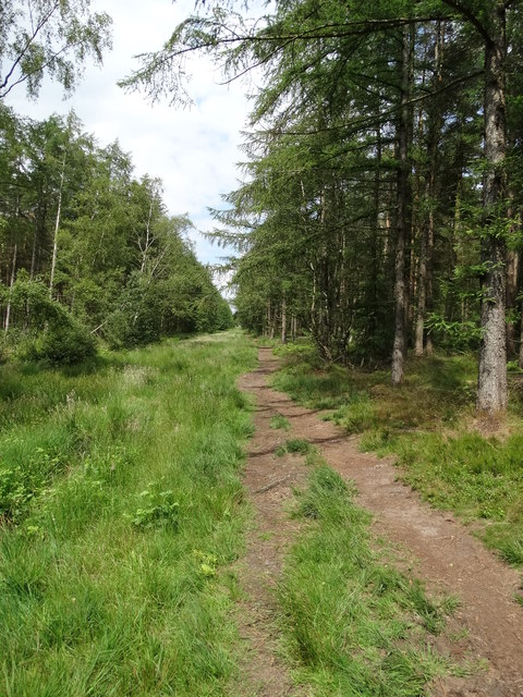
Bottom Moor Track
Perhaps it was once a proper moor but as you can see it has been artificially forested.
 Map © Crown Copyright")
TIP: Click the map for more Large scale mapping
- Grid Square
- SK3262, 34 images (more nearby 🔍)
- Photographer
- Neil Theasby (more nearby)
- Date Taken
- Monday, 30 June, 2014 (more nearby)
- Submitted
- Tuesday, 1 July, 2014
- Subject Location
-
OSGB36:
 SK 3221 6260 [10m precision]
WGS84: 53:9.5735N 1:31.1841W - Camera Location
-
OSGB36: SK 3220 6257
- View Direction
- North-northeast (about 22 degrees)