2014
NT9943 : Gateway into arable fields
taken 10 years ago, near to Berrington, Northumberland, England
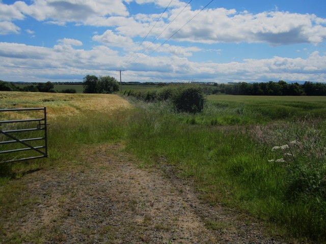
Gateway into arable fields
A gateway off a minor country road providing access into side by side arable fields. Barley is growing in both fields though the crop in the field on the left is more advanced.
 Map © Crown Copyright")
TIP: Click the map for more Large scale mapping
- Grid Square
- NT9943, 19 images (more nearby 🔍)
- Photographer
- Graham Robson (more nearby)
- Date Taken
- Monday, 30 June, 2014 (more nearby)
- Submitted
- Tuesday, 1 July, 2014
- Subject Location
-
OSGB36:
 NT 9950 4350 [10m precision]
WGS84: 55:41.0988N 2:0.5710W - Camera Location
-
OSGB36: NT 99509 43487
- View Direction
- North-northwest (about 337 degrees)