2014
SO9195 : Ettingshall Fields
taken 10 years ago, near to Blakenhall, Wolverhampton, England
Ettingshall Fields
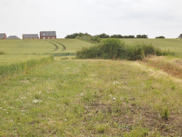
The view of fields on the southern border of Wolverhampton towards the Blind Institute Housing Estate.
 Map © Crown Copyright")
TIP: Click the map for more Large scale mapping
- Grid Square
- SO9195, 360 images (more nearby 🔍)
- Photographer
- Gordon Griffiths (more nearby)
- Date Taken
- Wednesday, 2 July, 2014 (more nearby)
- Submitted
- Thursday, 3 July, 2014
- Subject Location
-
OSGB36:
 SO 9162 9575 [10m precision]
WGS84: 52:33.5712N 2:7.5026W - Camera Location
-
OSGB36: SO 9162 9583
- View Direction
- SOUTH (about 180 degrees)