2014
SU9677 : Controlled demolition
taken 10 years ago, near to Eton, Windsor And Maidenhead, England
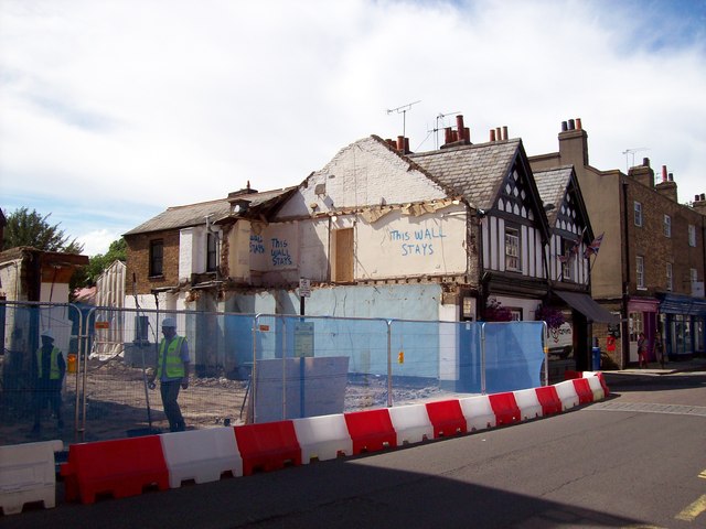
Controlled demolition
One can only hope that the demolition team all speak, and read, English !
 Map © Crown Copyright")
TIP: Click the map for more Large scale mapping
- Grid Square
- SU9677, 899 images (more nearby 🔍)
- Photographer
- Len Williams (more nearby)
- Date Taken
- Friday, 4 July, 2014 (more nearby)
- Submitted
- Saturday, 5 July, 2014
- Subject Location
-
OSGB36:
 SU 9667 7739 [10m precision]
WGS84: 51:29.2325N 0:36.5465W - Camera Location
-
OSGB36: SU 9669 7738
- View Direction
- West-northwest (about 292 degrees)