2014
SU2316 : Homy Ridge, forestry track
taken 10 years ago, near to Fritham, Hampshire, England
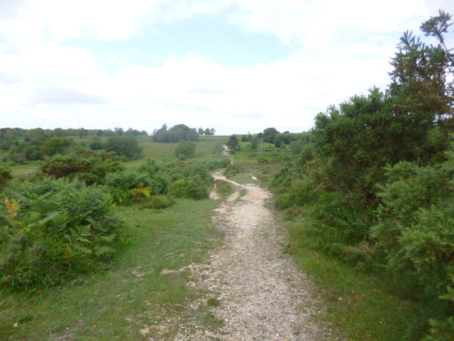
Homy Ridge, forestry track
Heading towards Claypits Bottom.
 Map © Crown Copyright")
TIP: Click the map for more Large scale mapping
- Grid Square
- SU2316, 14 images (more nearby 🔍)
- Photographer
- Mike Faherty (more nearby)
- Date Taken
- Wednesday, 9 July, 2014 (more nearby)
- Submitted
- Wednesday, 9 July, 2014
- Subject Location
-
OSGB36:
 SU 2305 1609 [10m precision]
WGS84: 50:56.6276N 1:40.3973W - Camera Location
-
OSGB36: SU 2305 1609
- View Direction
- Northwest (about 315 degrees)