2014
TM1266 : Road junction in Wetheringsett village
taken 10 years ago, near to Wetheringsett, Suffolk, England
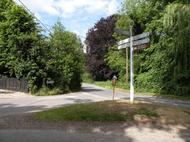
Road junction in Wetheringsett village
This junction is where Cedars Hill meets Hockey Hill.
 Map © Crown Copyright")
TIP: Click the map for more Large scale mapping
- Grid Square
- TM1266, 75 images (more nearby 🔍)
- Photographer
- Robert Edwards (more nearby)
- Date Taken
- Wednesday, 11 June, 2014 (more nearby)
- Submitted
- Thursday, 10 July, 2014
- Subject Location
-
OSGB36:
 TM 1268 6683 [10m precision]
WGS84: 52:15.5101N 1:6.8916E - Camera Location
-
OSGB36: TM 1267 6679
- View Direction
- North-northeast (about 22 degrees)