2007
ST3888 : Underwood - the south west end of the estate
taken 17 years ago, near to Underwood, Newport/Casnewydd, Wales
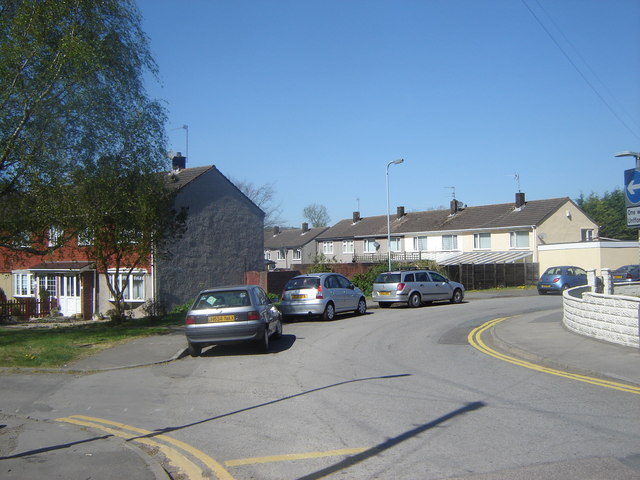
Underwood - the south west end of the estate
The whole of Underwood is one big housing estate, and those in this photo are typical. The shot shows the bend in the road close to the school (behind my left shoulder - not indicated on the map); the junction to the left is the start of a footpath to Llanwern.
 Map © Crown Copyright")
TIP: Click the map for more Large scale mapping
- Grid Square
- ST3888, 18 images (more nearby 🔍)
- Photographer
- Ruth Sharville (more nearby)
- Date Taken
- Thursday, 19 April, 2007 (more nearby)
- Submitted
- Friday, 20 April, 2007
- Subject Location
-
OSGB36:
 ST 381 887 [100m precision]
WGS84: 51:35.6672N 2:53.6736W - Camera Location
-
OSGB36: ST 381 887
- View Direction
- North-northwest (about 337 degrees)