2014
TR0753 : Site of former sawmills, Ashford Road
taken 10 years ago, near to Chilham, Kent, England
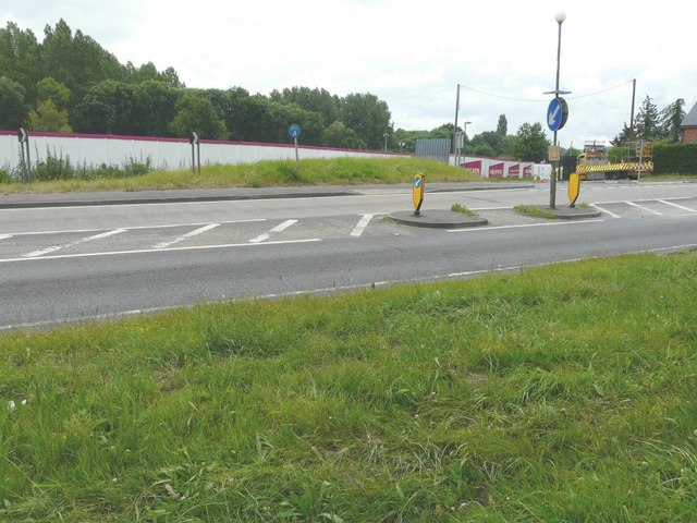
Site of former sawmills, Ashford Road
The hoarding hides derelict land which will become Chilham Place. This is to be a development of 1, 2, 3 and 4 bedroom apartments and houses to be built by Orbit Homes Link (Archive Link ) The development is also described in the Ashford Borough Councils planning application 12/00052/AS as residential development of 40 dwellings comprising a mix of 26 private dwellings and 14 affordable units"
 Map © Crown Copyright")
TIP: Click the map for more Large scale mapping
- Grid Square
- TR0753, 197 images (more nearby 🔍)
- Photographer
- John Baker (more nearby)
- Date Taken
- Sunday, 29 June, 2014 (more nearby)
- Submitted
- Saturday, 12 July, 2014
- Subject Location
-
OSGB36:
 TR 0766 5365 [10m precision]
WGS84: 51:14.6527N 0:58.4318E - Camera Location
-
OSGB36: TR 0763 5369
- View Direction
- South-southeast (about 157 degrees)