2014
NT9122 : Wooded valley south of Lambden Burn
taken 10 years ago, 3 km from Langleeford, Northumberland, England
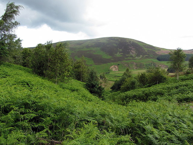
Wooded valley south of Lambden Burn
 Map © Crown Copyright")
TIP: Click the map for more Large scale mapping
- Grid Square
- NT9122, 9 images (more nearby 🔍)
- Photographer
- Andrew Curtis (more nearby)
- Date Taken
- Friday, 11 July, 2014 (more nearby)
- Submitted
- Sunday, 13 July, 2014
- Subject Location
-
OSGB36:
 NT 9193 2258 [10m precision]
WGS84: 55:29.8164N 2:7.7575W - Camera Location
-
OSGB36: NT 91921 22539
- View Direction
- North-northeast (about 22 degrees)