2014
SK4402 : Flooded quarry at Brascote
taken 10 years ago, near to Newbold Verdon, Leicestershire, England
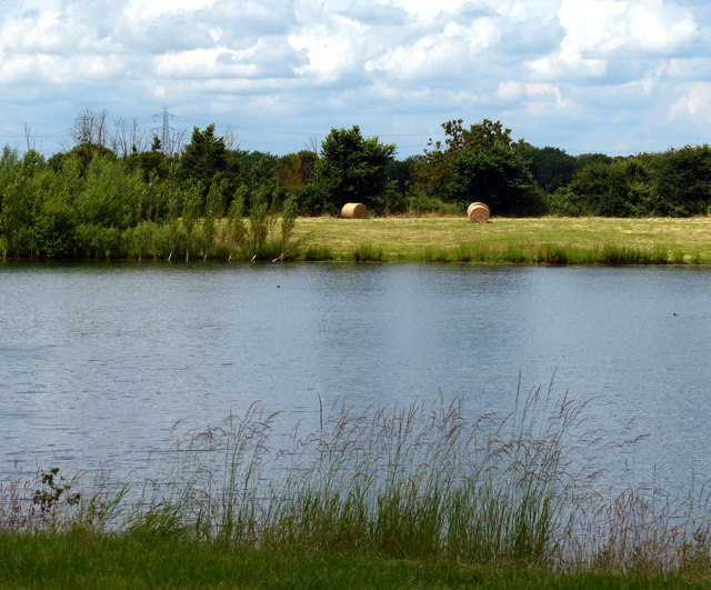
Flooded quarry at Brascote
 Map © Crown Copyright")
TIP: Click the map for more Large scale mapping
- Grid Square
- SK4402, 30 images (more nearby 🔍)
- Photographer
- Mat Fascione (more nearby)
- Date Taken
- Sunday, 6 July, 2014 (more nearby)
- Submitted
- Sunday, 13 July, 2014
- Subject Location
-
OSGB36:
 SK 445 028 [100m precision]
WGS84: 52:37.2796N 1:20.6194W - Camera Location
-
OSGB36: SK 445 026
- View Direction
- NORTH (about 0 degrees)