2014
TL2992 : Two types of farming south of Whittlesey
taken 10 years ago, 3 km from Pondersbridge, Cambridgeshire, England
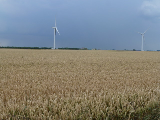
Two types of farming south of Whittlesey
Arable farming and wind farming in the flat reclaimed fenland between Pondersbridge and Ramsey Mereside
 Map © Crown Copyright")
TIP: Click the map for more Large scale mapping
- Grid Square
- TL2992, 6 images (more nearby 🔍)
- Photographer
- Richard Humphrey (more nearby)
- Date Taken
- Saturday, 12 July, 2014 (more nearby)
- Submitted
- Monday, 14 July, 2014
- Subject Location
-
OSGB36:
 TL 2930 9219 [10m precision]
WGS84: 52:30.7363N 0:5.7671W - Camera Location
-
OSGB36: TL 2904 9215
- View Direction
- EAST (about 90 degrees)