2014
NZ0131 : Spoil heap of Sharnberry High Level
taken 10 years ago, 5 km S of Hill End, County Durham, England
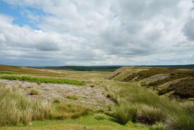
Spoil heap of Sharnberry High Level
The extensive mine spoil is on moorland above Sharnberry Gill. Trees at the north side of Hamsterley Forest can be seen in the distance.
 Map © Crown Copyright")
TIP: Click the map for more Large scale mapping
- Grid Square
- NZ0131, 10 images (more nearby 🔍)
- Photographer
- Trevor Littlewood (more nearby)
- Date Taken
- Sunday, 13 July, 2014 (more nearby)
- Submitted
- Monday, 14 July, 2014
- Subject Location
-
OSGB36:
 NZ 0124 3130 [10m precision]
WGS84: 54:40.6057N 1:58.9373W - Camera Location
-
OSGB36: NZ 0117 3137
- View Direction
- Southeast (about 135 degrees)