2014
SD2799 : Across Levers Water
taken 10 years ago, 3 km from Coniston, Cumbria, England
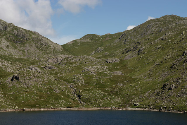
Across Levers Water
Seen from the end of Boulder Valley. Looking across to High Fell, towards the right of picture.
 Map © Crown Copyright")
TIP: Click the map for more Large scale mapping
- Grid Square
- SD2799, 53 images (more nearby 🔍)
- Photographer
- Peter Trimming (more nearby)
- Date Taken
- Wednesday, 9 July, 2014 (more nearby)
- Submitted
- Tuesday, 15 July, 2014
- Subject Location
-
OSGB36:
 SD 2796 9952 [10m precision]
WGS84: 54:23.1630N 3:6.6480W - Camera Location
-
OSGB36: SD 27968 98953
- View Direction
- NORTH (about 0 degrees)