2014
SD2899 : View Towards Swirl How
taken 10 years ago, 3 km from Coniston, Cumbria, England
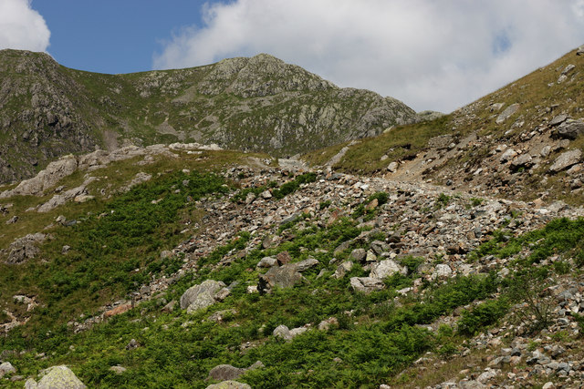
View Towards Swirl How
Seen from the path between Levers Water and Coniston.
 Map © Crown Copyright")
TIP: Click the map for more Large scale mapping
- Grid Square
- SD2899, 55 images (more nearby 🔍)
- Photographer
- Peter Trimming (more nearby)
- Date Taken
- Wednesday, 9 July, 2014 (more nearby)
- Submitted
- Wednesday, 16 July, 2014
- Subject Location
-
OSGB36:
 SD 2824 9909 [10m precision]
WGS84: 54:22.9335N 3:6.3832W - Camera Location
-
OSGB36: SD 28302 99051
- View Direction
- Northwest (about 315 degrees)