2014
TQ2617 : Ox Lease
taken 10 years ago, near to Albourne, West Sussex, England
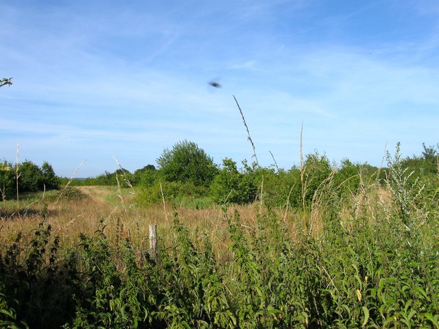
Ox Lease
The name of the field according to Hurstpierpoint's 1842 tithe map that has now been planted and is in the process of becoming a wood. The field lies to the north of TQ2616 : Hog Croft.
 Map © Crown Copyright")
TIP: Click the map for more Large scale mapping
- Grid Square
- TQ2617, 53 images (more nearby 🔍)
- Photographer
- Simon Carey (more nearby)
- Date Taken
- Thursday, 17 July, 2014 (more nearby)
- Submitted
- Saturday, 19 July, 2014
- Subject Location
-
OSGB36:
 TQ 2665 1711 [10m precision]
WGS84: 50:56.3720N 0:11.9276W - Camera Location
-
OSGB36: TQ 2659 1705
- View Direction
- Northeast (about 45 degrees)