2014
SD7742 : Road Junction - Little Mearley Hall to the right, Angram to the left
taken 10 years ago, near to Worston, Lancashire, England
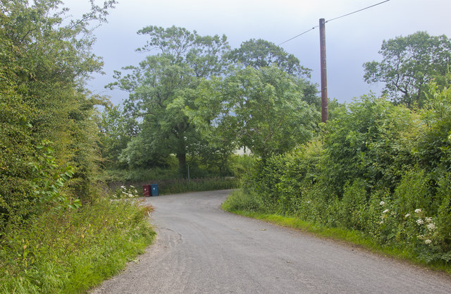
Road Junction - Little Mearley Hall to the right, Angram to the left
 Map © Crown Copyright")
TIP: Click the map for more Large scale mapping
- Grid Square
- SD7742, 32 images (more nearby 🔍)
- Photographer
- Ian Greig (more nearby)
- Date Taken
- Friday, 18 July, 2014 (more nearby)
- Submitted
- Saturday, 19 July, 2014
- Subject Location
-
OSGB36:
 SD 7755 4247 [10m precision]
WGS84: 53:52.6762N 2:20.5780W - Camera Location
-
OSGB36: SD 77511 42489
- View Direction
- East-southeast (about 112 degrees)