2011
SN7477 : Cwm Rheidol
taken 12 years ago, near to Devil's Bridge, Ceredigion/Sir Ceredigion, Wales
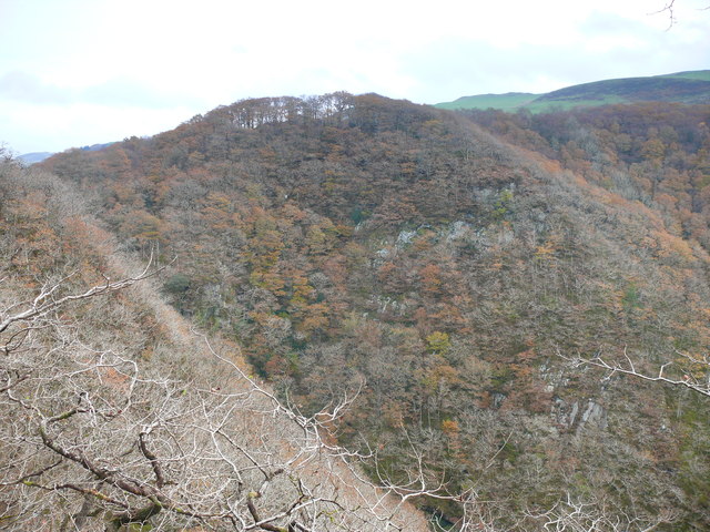
Cwm Rheidol
Rhan o Geunant Rheidol /Part of the Rheidol Gorge.
 Map © Crown Copyright")
TIP: Click the map for more Large scale mapping
- Grid Square
- SN7477, 282 images (more nearby 🔍)
- Photographer
- Ian Medcalf (more nearby)
- Date Taken
- Saturday, 19 November, 2011 (more nearby)
- Submitted
- Sunday, 20 July, 2014
- Subject Location
-
OSGB36:
 SN 7428 7756 [10m precision]
WGS84: 52:22.8960N 3:50.9101W - Camera Location
-
OSGB36: SN 7413 7759
- View Direction
- EAST (about 90 degrees)