2014
SX7289 : Chagford: into the Deer Park
taken 10 years ago, near to Easton, Devon, England
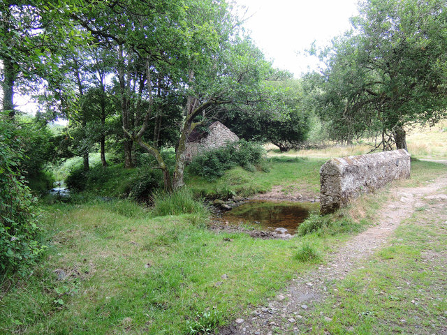
Chagford: into the Deer Park
The stream forms the boundary between Chagford and Moretonhampstead parishes
 Map © Crown Copyright")
TIP: Click the map for more Large scale mapping
- Grid Square
- SX7289, 120 images (more nearby 🔍)
- Photographer
- Martin Bodman (more nearby)
- Date Taken
- Sunday, 20 July, 2014 (more nearby)
- Submitted
- Sunday, 20 July, 2014
- Subject Location
-
OSGB36:
 SX 7218 8930 [10m precision]
WGS84: 50:41.3561N 3:48.6538W - Camera Location
-
OSGB36: SX 7217 8928
- View Direction
- Northeast (about 45 degrees)