2014
ST4502 : Field east of Broadwindsor
taken 10 years ago, near to Broadwindsor, Dorset, England
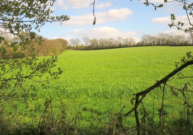
Field east of Broadwindsor
Looking from footpath W23/2 across the tributary of the Axe shown in ST4503 : Crossing a tributary of the Axe.
 Map © Crown Copyright")
TIP: Click the map for more Large scale mapping
- Grid Square
- ST4502, 11 images (more nearby 🔍)
- Photographer
- Derek Harper (more nearby)
- Date Taken
- Sunday, 13 April, 2014 (more nearby)
- Submitted
- Monday, 21 July, 2014
- Subject Location
-
OSGB36:
 ST 451 028 [100m precision]
WGS84: 50:49.3275N 2:46.8458W - Camera Location
-
OSGB36: ST 4501 0294
- View Direction
- Southeast (about 135 degrees)