2014
SU1911 : High Corner, Dockens Water
taken 10 years ago, near to Linwood, Hampshire, England
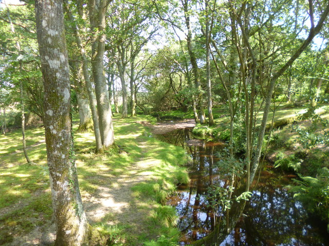
High Corner, Dockens Water
Looking upstream at a brook that rises in Fritham, and joins the Avon near Blashford. The brook is currently dry in sections, with no visible flow.
 Map © Crown Copyright")
TIP: Click the map for more Large scale mapping
- Grid Square
- SU1911, 29 images (more nearby 🔍)
- Photographer
- Mike Faherty (more nearby)
- Date Taken
- Wednesday, 23 July, 2014 (more nearby)
- Submitted
- Thursday, 24 July, 2014
- Subject Location
-
OSGB36:
 SU 1946 1118 [10m precision]
WGS84: 50:53.9863N 1:43.4788W - Camera Location
-
OSGB36: SU 1946 1118
- View Direction
- Northeast (about 45 degrees)