2014
NN2606 : The path up the Cobbler
taken 10 years ago, 3 km from Ardgartan, Argyll And Bute, Scotland
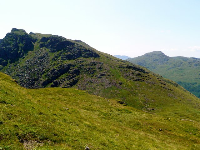
The path up the Cobbler
Taken from the Beinn Narnain path up from the Bealach a'Mhaim. The path from this bealach up to the Cobbler's north summit can clearly be seen.
 Map © Crown Copyright")
TIP: Click the map for more Large scale mapping
- Grid Square
- NN2606, 56 images (more nearby 🔍)
- Photographer
- Gordon Brown (more nearby)
- Date Taken
- Wednesday, 23 July, 2014 (more nearby)
- Submitted
- Thursday, 24 July, 2014
- Subject Location
-
OSGB36:
 NN 2607 0639 [10m precision]
WGS84: 56:13.0911N 4:48.3920W - Camera Location
-
OSGB36: NN 26605 06847
- View Direction
- Southwest (about 225 degrees)