2013
SK3895 : Farmland near Thorpe Hesley
taken 11 years ago, near to Thorpe Hesley, Rotherham, England
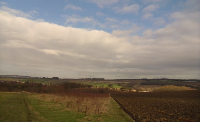
Farmland near Thorpe Hesley
Walking the Rotherham ring route.
 Map © Crown Copyright")
TIP: Click the map for more Large scale mapping
- Grid Square
- SK3895, 14 images (more nearby 🔍)
- Photographer
- steven ruffles (more nearby)
- Date Taken
- Friday, 8 February, 2013 (more nearby)
- Submitted
- Thursday, 24 July, 2014
- Subject Location
-
OSGB36:
 SK 3818 9594 [10m precision]
WGS84: 53:27.5300N 1:25.5872W - Camera Location
-
OSGB36: SK 3818 9575
- View Direction
- NORTH (about 0 degrees)