2014
SX4468 : Drive, Rumleigh
taken 10 years ago, near to Calstock, Cornwall, England
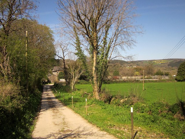
Drive, Rumleigh
Bere Ferrers Footpath 28 follows this drive past Rumleigh House, which can just be glimpsed; notable for its "relatively early use of brick in Devon" Link (Archive Link ) .
 Map © Crown Copyright")
TIP: Click the map for more Large scale mapping
- Grid Square
- SX4468, 61 images (more nearby 🔍)
- Photographer
- Derek Harper (more nearby)
- Date Taken
- Monday, 14 April, 2014 (more nearby)
- Submitted
- Thursday, 24 July, 2014
- Subject Location
-
OSGB36:
 SX 4469 6804 [10m precision]
WGS84: 50:29.4916N 4:11.4541W - Camera Location
-
OSGB36: SX 4470 6801
- View Direction
- North-northwest (about 337 degrees)