2014
SX7453 : Lane to Curtisknowle
taken 10 years ago, near to Curtisknowle, Devon, England
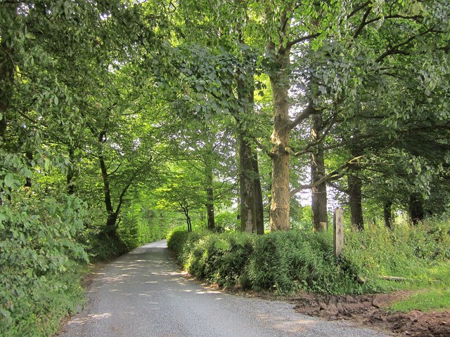
Lane to Curtisknowle
The lane passes through a small wood in the northwest corner of the square.
 Map © Crown Copyright")
TIP: Click the map for more Large scale mapping
- Grid Square
- SX7453, 15 images (more nearby 🔍)
- Photographer
- Derek Harper (more nearby)
- Date Taken
- Thursday, 24 July, 2014 (more nearby)
- Submitted
- Thursday, 24 July, 2014
- Subject Location
-
OSGB36:
 SX 7408 5394 [10m precision]
WGS84: 50:22.3107N 3:46.3237W - Camera Location
-
OSGB36: SX 7411 5394
- View Direction
- WEST (about 270 degrees)