2014
SD5758 : Path to Grit Fell
taken 10 years ago, 3 km from Tarnbrook, Lancashire, England
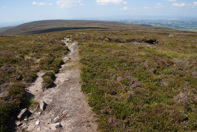
Path to Grit Fell
The path crosses Cabin Flat which is notorious for collecting water, but in the current summer conditions it is no problem at all.
 Map © Crown Copyright")
TIP: Click the map for more Large scale mapping
- Grid Square
- SD5758, 20 images (more nearby 🔍)
- Photographer
- Bill Boaden (more nearby)
- Date Taken
- Thursday, 24 July, 2014 (more nearby)
- Submitted
- Saturday, 26 July, 2014
- Subject Location
-
OSGB36:
 SD 5783 5867 [10m precision]
WGS84: 54:1.3378N 2:38.7090W - Camera Location
-
OSGB36: SD 5786 5867
- View Direction
- WEST (about 270 degrees)