2014
SU8375 : Downfield Lane
taken 10 years ago, near to Waltham st Lawrence, Windsor And Maidenhead, England
This is 1 of 2 images, with title Downfield Lane in this square
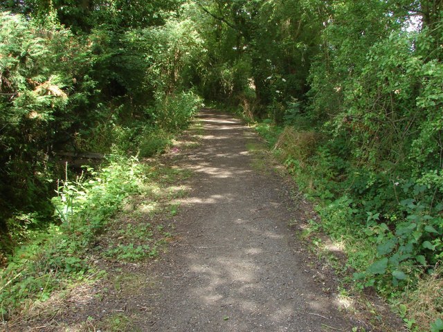
Downfield Lane
Looking northeast along Downfield Lane, a bridleway in the Knowl Hill Bridleway Circuit.
 Map © Crown Copyright")
TIP: Click the map for more Large scale mapping
- Grid Square
- SU8375, 22 images (more nearby 🔍)
- Photographer
- Alan Hunt (more nearby)
- Date Taken
- Thursday, 17 July, 2014 (more nearby)
- Submitted
- Saturday, 26 July, 2014
- Subject Location
-
OSGB36:
 SU 834 758 [100m precision]
WGS84: 51:28.5123N 0:48.0330W - Camera Location
-
OSGB36: SU 833 758
- View Direction
- East-northeast (about 67 degrees)