2007
SJ8800 : Substantial 1820s properties in Clifton Road
taken 17 years ago, near to Oxley, Wolverhampton, England
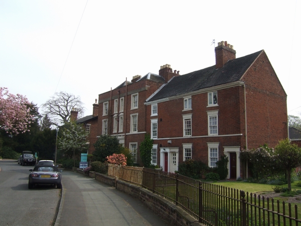
Substantial 1820s properties in Clifton Road
This area would have been developed after the new cutting was constructed for the turnpike at 'The Rock'on the Holyhead road.
 Map © Crown Copyright")
TIP: Click the map for more Large scale mapping
- Grid Square
- SJ8800, 81 images (more nearby 🔍)
- Photographer
- John M (more nearby)
- Date Taken
- Saturday, 21 April, 2007 (more nearby)
- Submitted
- Sunday, 22 April, 2007
- Subject Location
-
OSGB36:
 SJ 888 002 [100m precision]
WGS84: 52:35.9900N 2:9.9544W - Camera Location
-
OSGB36: SJ 888 002
- View Direction
- East-southeast (about 112 degrees)