2014
TQ2718 : Mill Mead
taken 10 years ago, near to Sayers Common, West Sussex, England
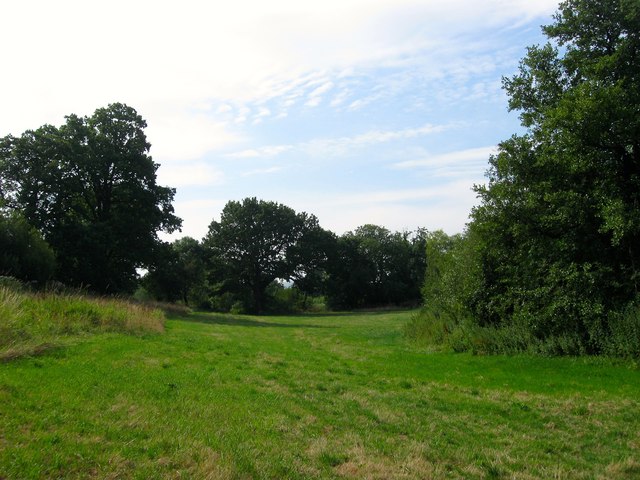
Mill Mead
The name of the field according to Hurstpierpoint's 1842 tithe map that lies between the man made TQ2718 : Mill Race to the left beyond the embankment and the course of Herrings Stream, sometimes referred to as Danworth Brook, to the right.
 Map © Crown Copyright")
TIP: Click the map for more Large scale mapping
- Grid Square
- TQ2718, 81 images (more nearby 🔍)
- Photographer
- Simon Carey (more nearby)
- Date Taken
- Friday, 25 July, 2014 (more nearby)
- Submitted
- Sunday, 27 July, 2014
- Subject Location
-
OSGB36:
 TQ 2746 1885 [10m precision]
WGS84: 50:57.2997N 0:11.1997W - Camera Location
-
OSGB36: TQ 2744 1893
- View Direction
- South-southeast (about 157 degrees)