2007
SX3575 : A Country Road
taken 17 years ago, near to Stoke Climsland, Cornwall, England
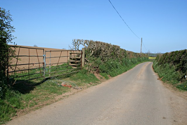
A Country Road
This road runs in a northwesterly direction through the centre of this agricultural grid square.
 Map © Crown Copyright")
TIP: Click the map for more Large scale mapping
- Grid Square
- SX3575, 12 images (more nearby 🔍)
- Photographer
- Tony Atkin (more nearby)
- Date Taken
- Wednesday, 18 April, 2007 (more nearby)
- Submitted
- Sunday, 22 April, 2007
- Subject Location
-
OSGB36:
 SX 3572 7532 [10m precision]
WGS84: 50:33.2696N 4:19.2276W - Camera Location
-
OSGB36: SX 3579 7525
- View Direction
- Northwest (about 315 degrees)