2014
TR3141 : Hoarding along Harold Street
taken 10 years ago, near to Dover, Kent, England
This is 1 of 2 images, with title Hoarding along Harold Street in this square
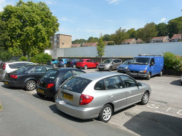
Hoarding along Harold Street
This was the site of the former Snelgrove House (used for sheltered housing).
Planning permission has been granted by Dover District Council under application number DOV/16/00095 for the erection of 2 buildings incorporating 10 self-contained flats and erection of 3 pairs of semi-detached dwellings with associated parking and landscaping.
Planning permission has been granted by Dover District Council under application number DOV/16/00095 for the erection of 2 buildings incorporating 10 self-contained flats and erection of 3 pairs of semi-detached dwellings with associated parking and landscaping.
 Map © Crown Copyright")
TIP: Click the map for more Large scale mapping
- Grid Square
- TR3141, 1287 images (more nearby 🔍)
- Photographer
- John Baker (more nearby)
- Date Taken
- Friday, 18 July, 2014 (more nearby)
- Submitted
- Tuesday, 29 July, 2014
- Subject Location
-
OSGB36:
 TR 3196 4192 [10m precision]
WGS84: 51:7.7735N 1:18.8316E - Camera Location
-
OSGB36: TR 3196 4190
- View Direction
- NORTH (about 0 degrees)