2014
SU1814 : Ditch End, track
taken 10 years ago, near to Godshill, Hampshire, England
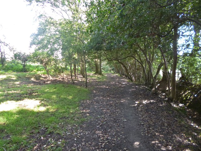
Ditch End, track
Next to the open forest boundary, through oak and holly woodland.
 Map © Crown Copyright")
TIP: Click the map for more Large scale mapping
- Grid Square
- SU1814, 27 images (more nearby 🔍)
- Photographer
- Mike Faherty (more nearby)
- Date Taken
- Wednesday, 30 July, 2014 (more nearby)
- Submitted
- Wednesday, 30 July, 2014
- Subject Location
-
OSGB36:
 SU 1827 1437 [10m precision]
WGS84: 50:55.7098N 1:44.4846W - Camera Location
-
OSGB36: SU 1827 1437
- View Direction
- EAST (about 90 degrees)