2014
ST0017 : The road to Huntsham
taken 10 years ago, near to East Mere, Devon, England
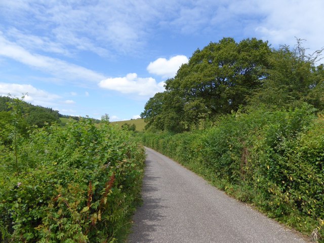
The road to Huntsham
High, dense, green hedges line the road through the valley of the River Lowman
 Map © Crown Copyright")
TIP: Click the map for more Large scale mapping
- Grid Square
- ST0017, 25 images (more nearby 🔍)
- Photographer
- David Smith (more nearby)
- Date Taken
- Tuesday, 29 July, 2014 (more nearby)
- Submitted
- Thursday, 31 July, 2014
- Subject Location
-
OSGB36:
 ST 0088 1792 [10m precision]
WGS84: 50:57.1296N 3:24.7493W - Camera Location
-
OSGB36: ST 0090 1788
- View Direction
- North-northwest (about 337 degrees)