2014
SK0797 : Approaching Torside Clough
taken 10 years ago, 4 km E of Hadfield, Derbyshire, England
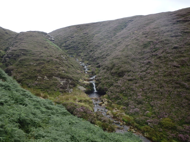
Approaching Torside Clough
Not the easiest approach on a path made invisible by deep bracken
 Map © Crown Copyright")
TIP: Click the map for more Large scale mapping
- Grid Square
- SK0797, 13 images (more nearby 🔍)
- Photographer
- Michael Graham (more nearby)
- Date Taken
- Thursday, 31 July, 2014 (more nearby)
- Submitted
- Saturday, 2 August, 2014
- Subject Location
-
OSGB36:
 SK 0741 9702 [10m precision]
WGS84: 53:28.1919N 1:53.3904W - Camera Location
-
OSGB36: SK 0735 9705
- View Direction
- East-southeast (about 112 degrees)