2014
TF4804 : Muddy farmland
taken 10 years ago, near to Friday Bridge, Cambridgeshire, England
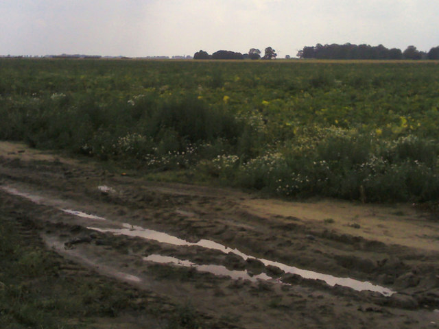
Muddy farmland
Off Molls Drove.
 Map © Crown Copyright")
TIP: Click the map for more Large scale mapping
- Grid Square
- TF4804, 8 images (more nearby 🔍)
- Photographer
- JThomas (more nearby)
- Date Taken
- Saturday, 2 August, 2014 (more nearby)
- Submitted
- Monday, 4 August, 2014
- Subject Location
-
OSGB36:
 TF 4837 0492 [10m precision]
WGS84: 52:37.3066N 0:11.4223E - Camera Location
-
OSGB36: TF 48417 04977
- View Direction
- Southwest (about 225 degrees)