2014
SE5540 : A land locked public right of way
taken 10 years ago, near to Ryther, North Yorkshire, England
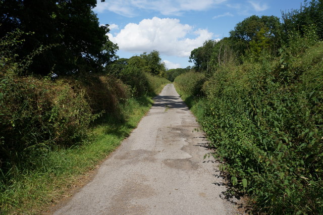
A land locked public right of way
To get to this public right of way as shown on up to date Ordnance Survey maps you must trespass over private property at Nun Appleton Estate. A Sam Smith's Brewery owned estate.
 Map © Crown Copyright")
TIP: Click the map for more Large scale mapping
- Grid Square
- SE5540, 19 images (more nearby 🔍)
- Photographer
- Ian S (more nearby)
- Date Taken
- Monday, 4 August, 2014 (more nearby)
- Submitted
- Monday, 4 August, 2014
- Subject Location
-
OSGB36:
 SE 5539 4011 [10m precision]
WGS84: 53:51.2564N 1:9.5657W - Camera Location
-
OSGB36: SE 5541 4008
- View Direction
- North-northwest (about 337 degrees)